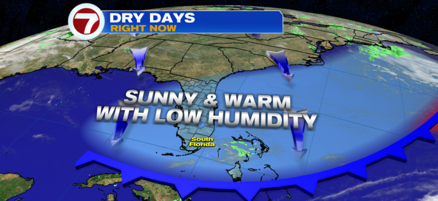
The week so far has been very quiet and beautiful courtesy of high pressure in control keeping all the weather systems away from South Florida. A weak front, however, did pass through the area last night but it lacked moisture to produce any rain showers. What it did do is actually drop moisture levels further with lower humidity ahead this Thursday compared to yesterday on Wednesday.
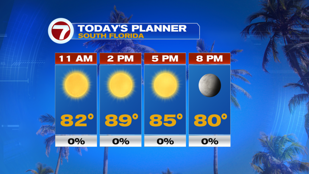
High temperatures will be a couple degrees lower this Thursday, reaching the mid to upper 80s and with the low humidity, temperatures will feel just like the actual readings. That will be paired with abundant sunshine and a light breeze out of the north-northeast.
This story holds true for your Friday too, with mostly sunny skies and highs in the mid to upper 80s, although humidity will be slightly higher. If you do enjoy this dry air, be sure to enjoy it because this is the time of the year when these pleasant days come to an end until next winter.
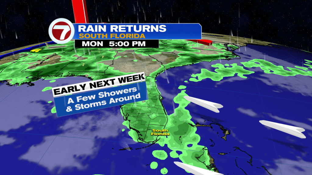
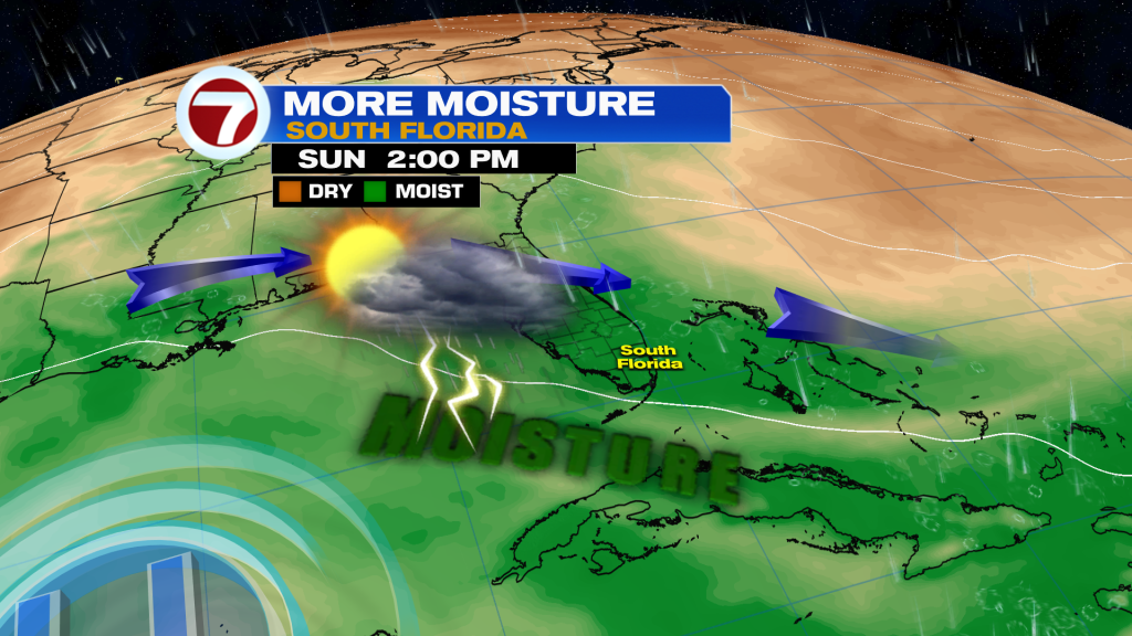
Now by the weekend, we will begin to see some changes to our weather pattern as winds veer more out of the east/southeast along with more moisture flowing in from the Gulf of Mexico. Saturday will be the drier day this weekend with only the chance for a spotty shower. Then on Sunday, a disturbance may be nearby over the Atlantic, which can enhance rainfall activity. Therefore, scattered showers and thunderstorms are expected then, especially in the afternoon. Highs both days will remain warm in the mid to upper 80s and be slightly above average.
For early to mid next week, there aren’t any fronts or weather systems expected to be nearby but with the moisture remaining in place, the daily risk for isolated to scattered showers and storms will exist with rain chances at a 30% chance.