SAN FRANCISCO (KGO) — A newly-formed hurricane named Hilary is making its rounds in the headlines. It will likely strengthen into a major hurricane, with the possibility of making landfall in California. There will be a threat of flooding rains across Southern California from Sunday through Tuesday.
Watch our real-time weather live stream in the video player above that shows the current path, satellite radar and humidity levels in the San Francisco Bay Area.
HURRICANE HILARY
As of 8 a.m. Thursday, Hilary is a category 1 hurricane with winds of 85 mph and is located 530 miles south of Cabo San Lucas.
As expected, Hilary will rapidly strengthen and will likely become a major hurricane (Category 3+) later Thursday.
RELATED: Hurricane categories explained: How strong is each category?
Then Hilary will rapidly weaken as she enters cooler ocean waters and interacts with the mountain terrain of Baja California Sunday.
The current track has Hilary moving into California on Monday as either a tropical storm or a weaker tropical depression.
If Hilary does make landfall in California as a tropical storm, it would be the first tropical storm to do so since 1939.


OCEAN TEMPERATURES
Hurricanes require ocean temperatures above 80 degrees to survive. Hilary is currently sitting in 85-degree water and will remain in those warm waters through Saturday. That is why we anticipate a rapid strengthening. As Hilary moves closer to Baja California, ocean temperatures will quickly cool into the 70s and eventually the 60s along the California coast.
That temperature drop may not seem like a lot but ocean temperatures in the 70s will essentially kill Hilary and water in the 60s will never support a tropical system. Thus, we see a very rapid weakening as the system approaches the California-Mexico border.


INTERACTIVE: Look up how climate change is forecast to impact your neighborhood
HEAVY RAIN THREAT IN SOCAL
The moisture from Hilary will likely bring a flood threat to Southern California.
Areas in the low dessert, especially Palm Springs could see several inches of rain leading to flash flooding.
Rough surf will also be an issue on SoCal beaches which could lead to beach erosion.


CENTRAL VALLEY IMPACTS
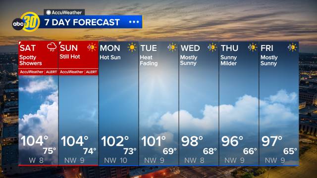
The Central Valley is forecasted to have remnants of rain and thunder from Hurricane Hilary by Monday and Tuesday.
Portions of the south valley could first experience rainfall by Monday morning. The rest of the Central Valley will see a chance of thunderstorms by Monday afternoon.
ABC30 Action News is tracking hurricane Hilary and will continue to update with any updates on the upcoming rain.
BAY AREA IMPACTS
The current track of Hilary does not look to bring rainfall to the Bay Area, but we will see increased humidity and tropical cloud cover Monday and Tuesday.
We are likely to see increased clouds and increased humidity Sunday through Tuesday due to the remnants of Hilary.
We will monitor the track of this storm and any small shifts would mean an increased chance for light rain here Monday and Tuesday. That is something we will fine-tune in the coming days.
Watch the latest AccuWeather forecast and take a look at recent weather stories and videos.

If you’re on the ABC7 News app, click here to watch live