Ancient river valleys and majestic volcanoes. Experts have created a detailed map of Mars
Endless red plains, sprawling volcanoes, remnants of ancient rivers and lakes, and meteorite impact craters can be viewed in detail on a new global map of Mars created by experts from the United Arab Emirates (UAE). The map consists of more than 3,000 images taken by the instruments of the Amal (Hope) probe, writes The New York Times.
Click to enlarge
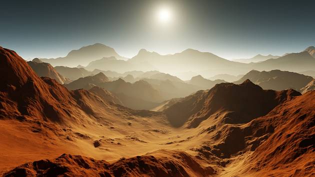
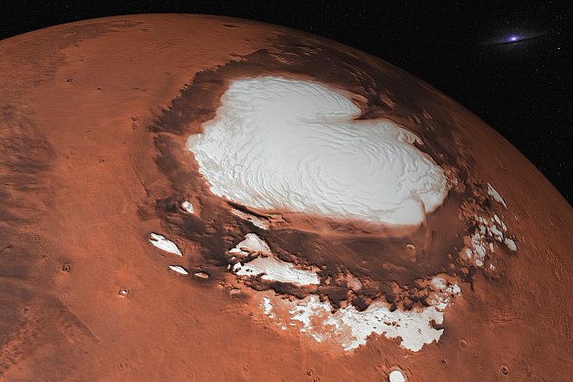
Mars. Illustrative image
| Photo: Shutterstock
“They are all natural colors Mars,” says scientific researcher Dimitra Atri from New York University in Abu Dhabi about the map.
The images were sent back to Earth by the Amal probe, which launched from a Japanese spaceport in 2020 and has been orbiting the red planet for the past two years. Its main job is to study the atmosphere of Mars, but in addition to other instruments, it is also equipped with a camera.
Atri was “absolutely blown away” by the quality of the first images Amal sent. “I’ve never seen Mars like this before,” the scientist said of the image, which he said showed half of the planet.
Maps of Mars are nothing new. As early as the 1890s, American businessman Percival Lowell, while observing the red planet from his observatory in Flagstaff, Arizona, sketched maps of what he believed to be artificial channels built by a Martian civilization. At that time, Lowell also observed ray-like structures on the Venus – but later it turned out that he was probably just mistakenly observing the reflection of the back of his own eyeball.
Mars has been captured by a number of probes
In the era of space exploration, a number of probes flew past Mars, some of which also observed the planet from its orbit. Orbital American probes such as Mars Global Surveyor or Mars Reconnaissance Orbiter, however, mostly focused on the details of the surface, including sand dunes, ravines and boulders.
“They are amazing, spectacular images. But you don’t see the whole planet at once,” said Atri, according to whom there were diverse lighting conditions during such flybys, making it impossible to give a complete picture of the planet. However, the probes brought back a topographic map that was created from laser altimeter data.
He also created a global map of Mars Hubble Space Telescope from earth orbit. However, even at its closest distance, the Red Planet is 34 million kilometers from us, so the images from the Hubble telescope are not sharp enough. The Amal probe moves in an elliptical orbit at a height of approximately 20,000 to 43,000 kilometers from the surface of Mars, i.e. it is significantly higher than the Mars Reconnaissance Orbiter probe, but much closer than Hubble.
Several months of work
The entire process of creating the map lasted several months, when scientists created a complete and uniform map from individual images. Atri and his colleagues are now working on a scientific paper in which they will describe their methods.
These could then be used to create maps of other space bodies, for example from data from the European probe Juice. Last week, it left for Jupiter and its icy moons, where it will arrive in the next decade.
“The ice moons are so beautiful. So we should be able to use the same method,” Atri stated.

